


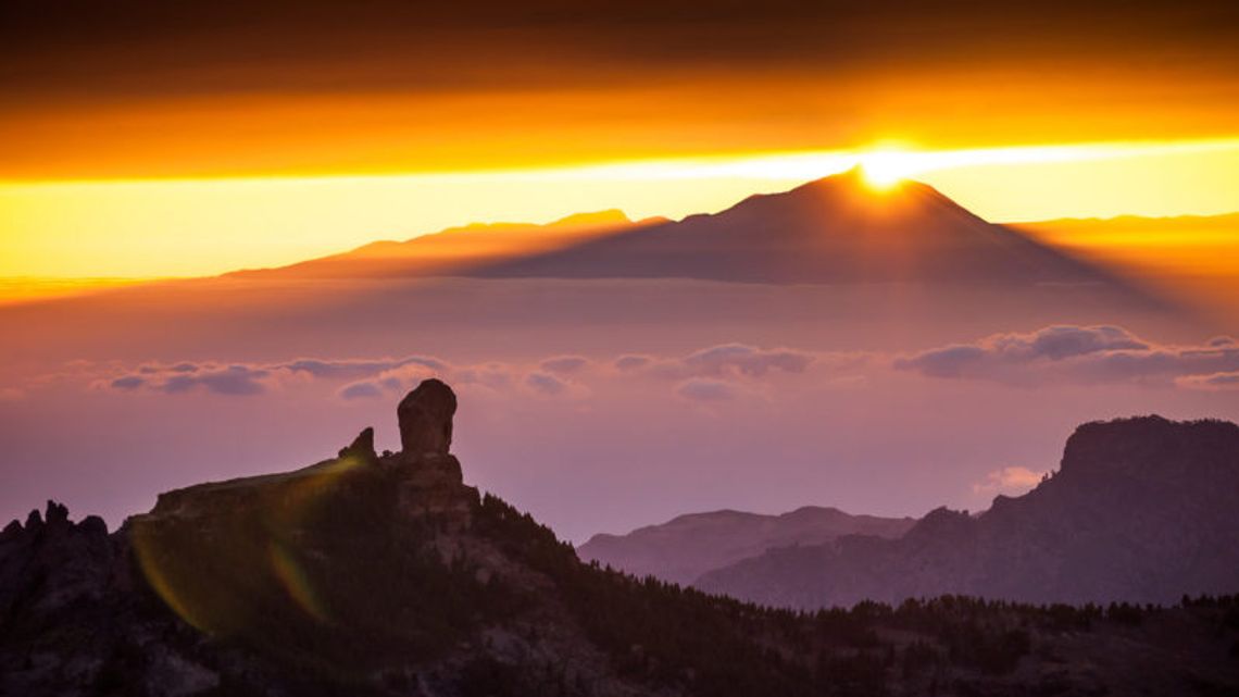
Next to the highest point of the island of Gran Canaria, the Morro de la Agujerada, at an altitude of 1956 meters, behind us, opens this balcony that looks at the Teide from the apex of an immense triangle, located in the center of the An island, which extends from the Tamadaba massif, in the last plane to the northwest, to the Amurga massif, to the southeast, in a visual arc that is not encompassed at one time and encompasses almost half of the island circle.
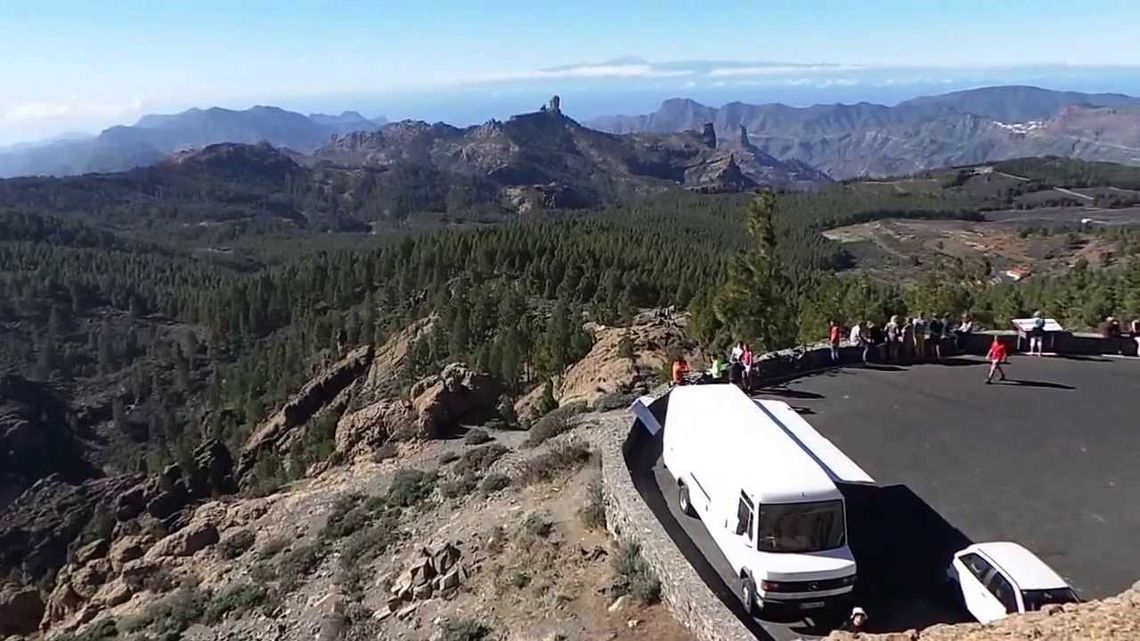
n sea of pinewood, repopulated in the 50s of the twentieth century, Los Llanos de la Pez and Pargana, precedes the Atlantic blue sea. Between them a mountainous scenario is interposed that, in a succession of planes, marks the sequence of the insular relief. Between its folds Tejeda, at the foot of the Roque Nublo, which appears upright as marking a timeless axis; The Village of San Nicolás and Mogán, already touching the shore.
Further south, the Tirajanas. From here, there are three huge erosive basins where water has dismantled the central summit over millennia, since its formation in the Pliocene period as well as the materials emitted in the subsequent collapse of the Roque Nublo Volcano.
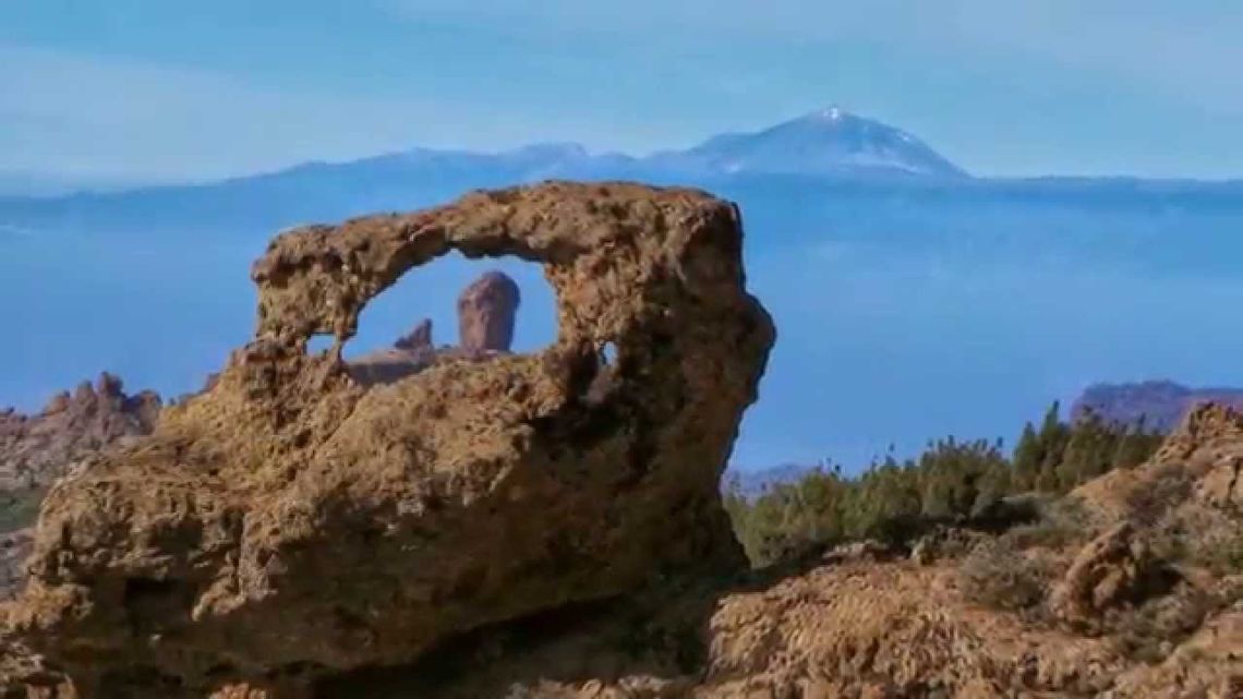
A quote from René Verneau, a French anthropologist from the late 19th century, says of this summit: "It is furrowed in every way by deep depressions and bristling by volcanic peaks ... This place so tormented, with its large black rocks and immense cracks that they leave from there to diverge in all directions, it would look more wild if it were not almost completely covered by vegetation. "